Meet Bernard Hourcade, geographer and Iran specialist (CeRMI)
The collection "Portraits de chercheurs(e)s en études aréales" (PEA) is a series of large-format interviews produced by Inalco as part of the Digital Paris Research School of Area Studies (D-PaRSAS) institutional project. Deposited on the MediHal open archive, this series of portraits joins a set of collections on the Language and Cultural Area Studies (LaCAS) platform. These collections aim to build a living, freely accessible scientific heritage of research on the world's languages, societies and cultures.
Large-format portrait
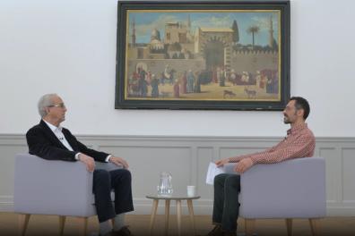
Video: A geography of Iran. An interview with Bernard Hourcade
An interview conducted by Bastien Sepúlveda, in charge of Digital Humanities (DIRVED, Inalco), directed by Dimitri Galitzine, produced by Inalco (22/11/2023, 58 mn)
Podcast:

Bernard Hourcade is a geographer specializing in Iran and Director of Research Emeritus at the CNRS, attached to the Centre de recherche sur le monde iranien (CeRMI). After teaching at the University of Pau (1972-1978), he was appointed Director of the French Research Institute in Iran during the Islamic Revolution (1978 - 1993).
In this interview, he recalls his Iranian experiences (1970-2023), between the mountains as an object of study and the 1979 revolution as a context marking his research itinerary.
His current research focuses on transformations in Iranian society, geography and politics under the impact of urban development. He also contributes to the CartOrient project, a portal for the dissemination of cartographic studies focusing on Western Asia, the Caucasus and Central Asia.
His latest publications: Géopolitique de l'Iran, les défis d'une renaissance (A. Colin 2016); Atlas des élections présidentielles en république islamique d'Iran (1980-2017) (CNRS, 2019); Iran, paradoxes d'une nation (CNRS, 2021, Documentation photographique 8143).